Garganta del Capitán · Algeciras
- Official circuit
- 5.916 km
- Indicative time
- 105 min
- Official difficulty
- Easy
- Trailhead
- CA-9208 · km 2.7
Official circuit data; Wikiloc variants may differ.
Read the guide →ALGECIRAS · CAMPO DE GIBRALTAR
Beaches, forests, walking trails and outdoor experiences to explore from Algeciras.
For a short outing near the city, consider Parque del Centenario or the Río Pícaro riverside park. For woodland walking, compare Garganta del Capitán with options in Los Barrios. Check access and trail status before choosing by distance.
The official Junta listing checked on 26 October 2026 marks Río de la Miel temporarily closed. Do not plan it as an available trail; check the official status before setting out.
Parque del Centenario is at Punta de San García. The municipal Río Pícaro walk follows the riverside park towards Getares; it is a different route from the Llanos del Juncal.
Garganta del Capitán is an option to plan from Algeciras. San Carlos del Tiradero and Risco Blanco are in Los Barrios: arrange travel, forest-track access and any required permits.
Place guides link to external tracks where available. We do not provide our own field-verified GPX; check the route, variants and restrictions before following a track.
Sources reviewed:
Compare official circuits and access conditions. These figures do not cover every Wikiloc variant or travel from Algeciras. Documentary checks do not guarantee that a trail is open on the day of your visit.
Do not plan a Río de la Miel outing while it remains closed. Valdeinfierno reopening is unconfirmed; an unreadable notice does not prove that it is open.
Travel to the trailhead is not included in walking time. For Tiradero and Risco Blanco, check forest-track vehicle access as well as the trail permit. We have not verified a direct bus to these starting points: arrange collection before setting out if you rely on transport.
Official circuit data; Wikiloc variants may differ.
Read the guide →Official circuit data; Wikiloc variants may differ.
Read the guide →Official circuit data; Wikiloc variants may differ.
Read the guide →Without confirmed mountain access, consider Getares or Parque del Centenario as coastal alternatives; still arrange travel from your accommodation.
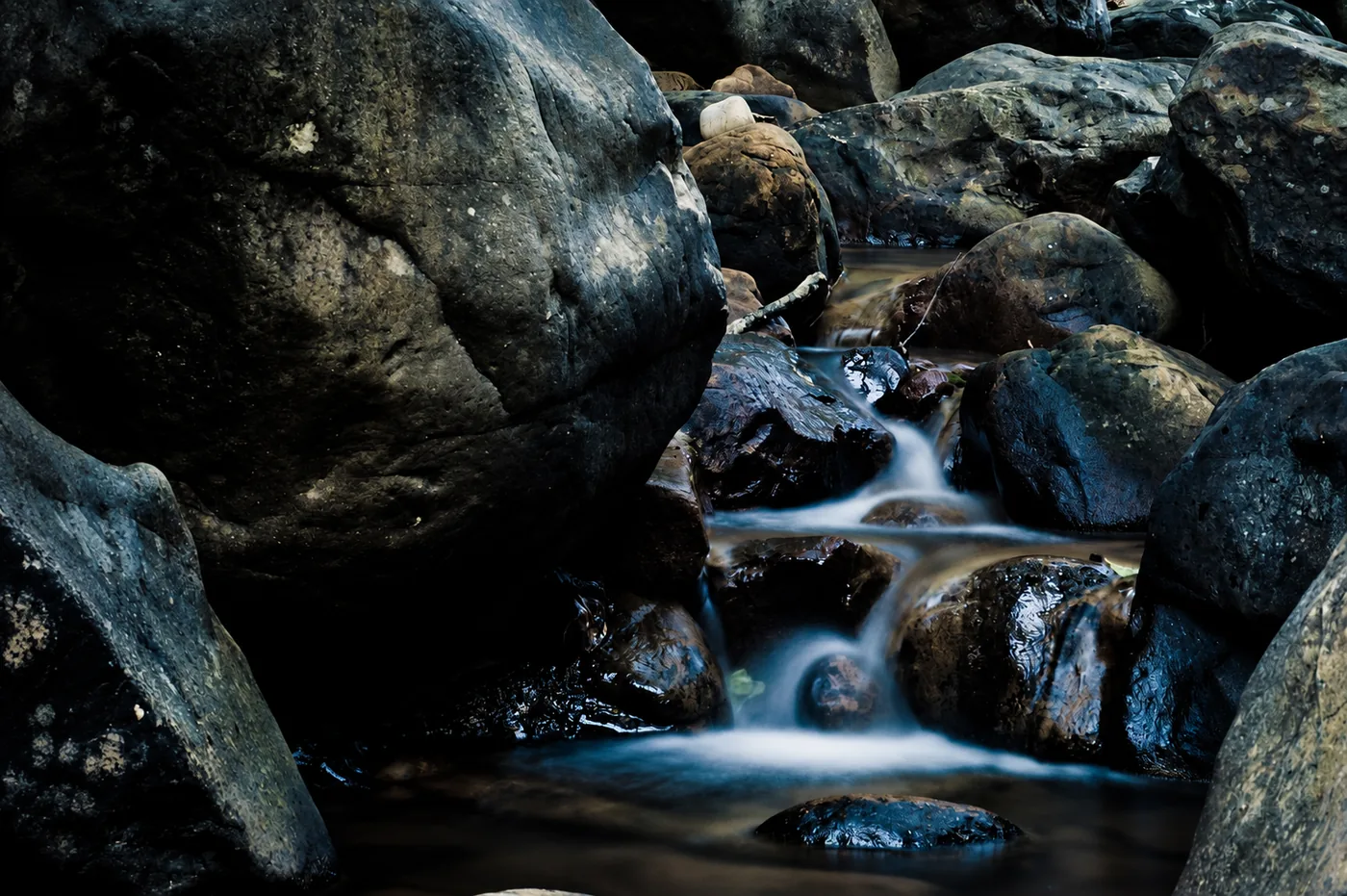
Algeciras
Temporarily closed according to the official listing checked. Do not plan access until the responsible authority confirms reopening. This guide describes the place; it does not establish that it is open.
Río de la Miel Trail →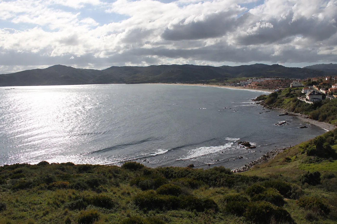
Algeciras
Getares Beach is one of Algeciras's main coastal attractions.
Getares Beach →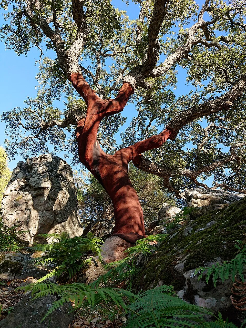
Algeciras
The landscape along the Botafuegos stream combines wooded ravine vegetation with remains of mills.
Garganta del Capitán →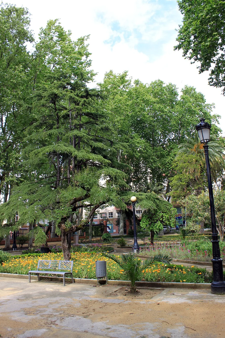
Algeciras
A historic city garden for a green pause between visits in the centre.
María Cristina Park →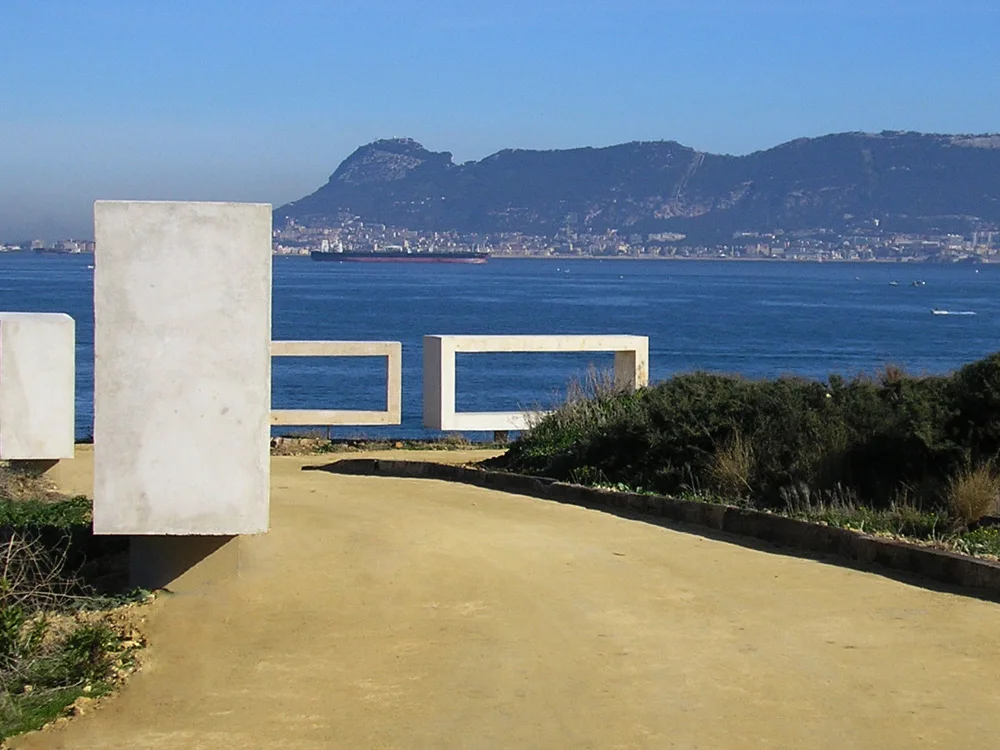
Algeciras
At Punta de San García, the park combines scenery of the Strait with remains of coastal defences.
Parque del Centenario →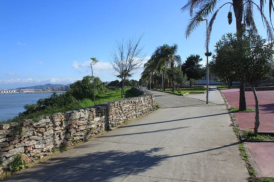
Algeciras
A waterfront walk with views of the bay from the city.
Paseo de Cornisa →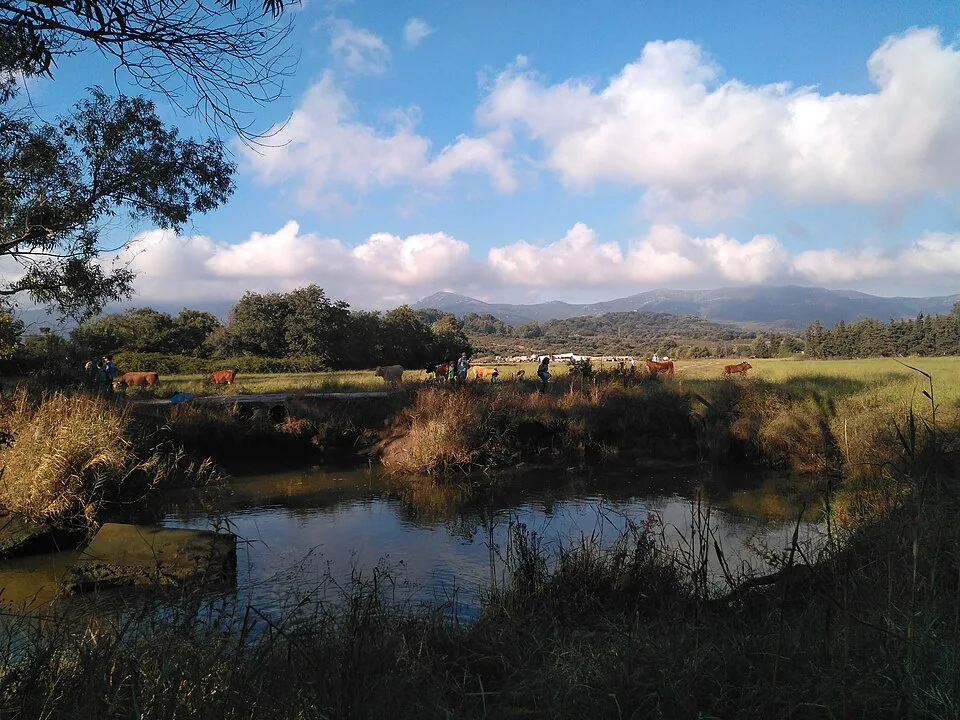
Algeciras
A municipal route through wild olive trees and riverside vegetation.
La Menacha Trail →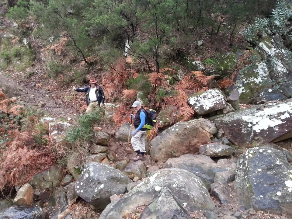
Algeciras
The itinerary approaches Las Esclarecidas and the Fuente Santa gorge.
Las Esclarecidas →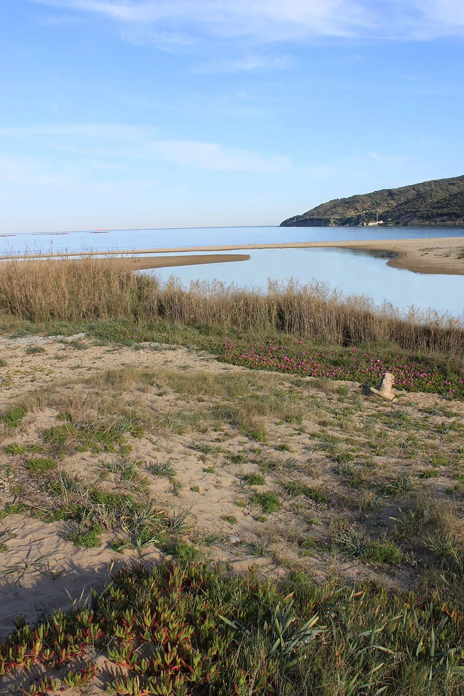
Algeciras
A walk beside the River Pícaro before it reaches Getares.
Río Pícaro Trail →Algeciras
A path connected with the forced labour of political prisoners after the Spanish Civil War.
Senda de los Prisioneros →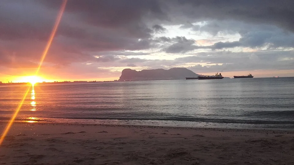
Algeciras
An urban beach in northern Algeciras offering a glimpse of its maritime landscape.
El Rinconcillo Beach →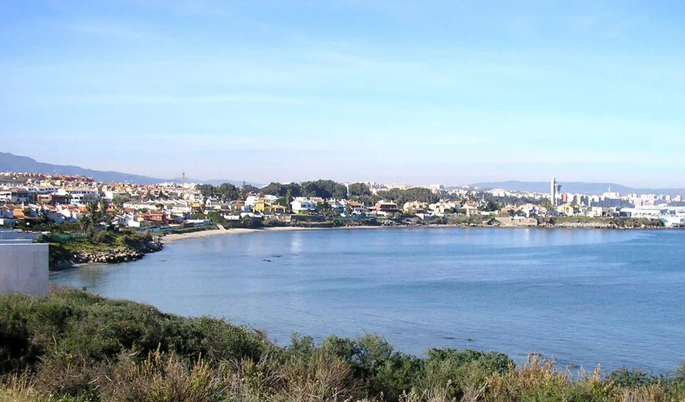
Algeciras
A coastal spot in Algeciras listed in the municipal inventory of nature and beaches.
El Chinarral →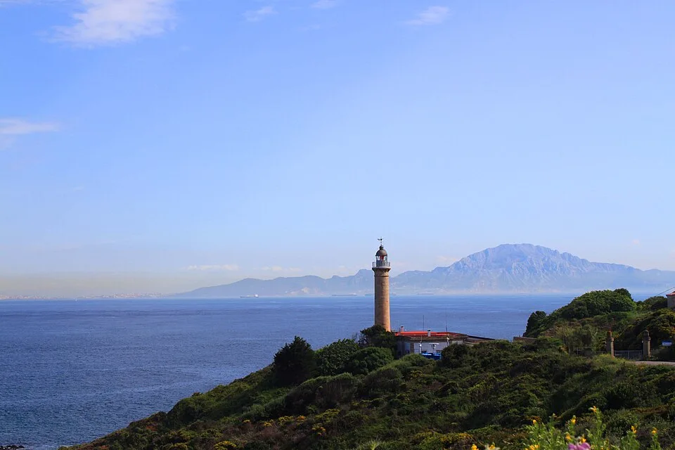
Algeciras
This Algeciras lighthouse forms part of the provincial lighthouse route and the scenery of the Strait.
Punta Carnero Lighthouse →Algeciras
Una excursión para descubrir los antiguos pasos de la sierra y mirar Algeciras desde su historia caminera.
La Trocha: el camino que atravesaba la sierra →Algeciras
Una jornada de sierra para cambiar la perspectiva: el alcornocal en primer plano y la bahía extendida al fondo.
Las Corzas: la bahía desde el bosque →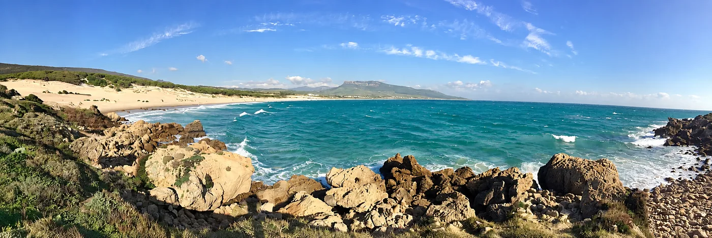
Tarifa
The protected dune is one of the most distinctive landscape features on Tarifa's coast.
Bolonia Dune →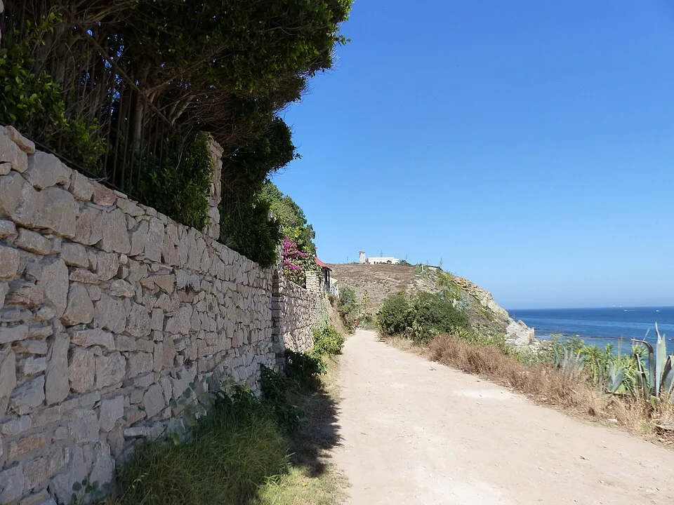
Tarifa
A coastal livestock trail follows Tarifa's shoreline towards Algeciras.
Colada de la Costa →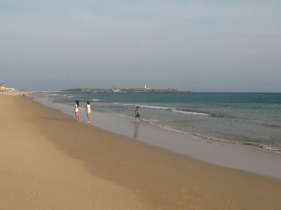
Tarifa
Los Lances is one of Tarifa's natural areas associated with bird migration.
Los Lances and birdwatching →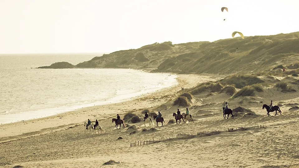
Tarifa
Specialist operators offer horse riding experiences around the Strait and Los Alcornocales in Tarifa.
Horse riding in Tarifa →
Tarifa
Observation trips introduce the marine wildlife of the Strait; sightings depend on conditions.
Whale and dolphin watching from Tarifa →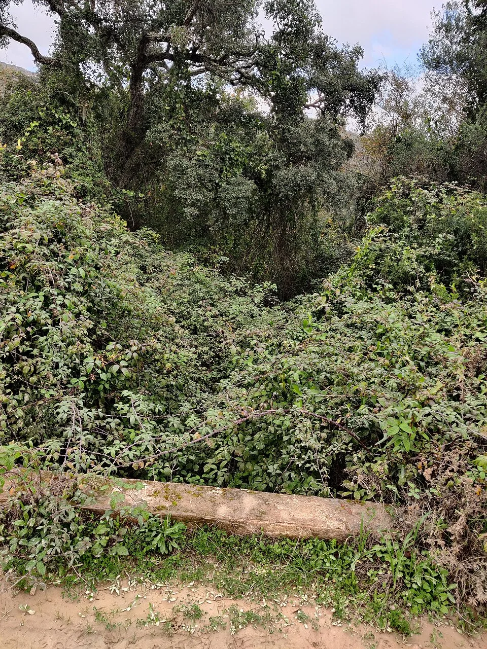
Los Barrios
A trail through gallery woodland, with an adapted section whose condition should be checked before visiting.
Valdeinfierno Trail →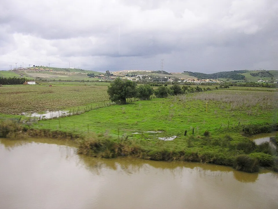
Los Barrios
This fishing village combines walks beside the boats with places to eat.
Walks and food in Palmones →Los Barrios
A park with a lake offers an outdoor pause during a visit to Los Barrios.
Guadacorte Lake →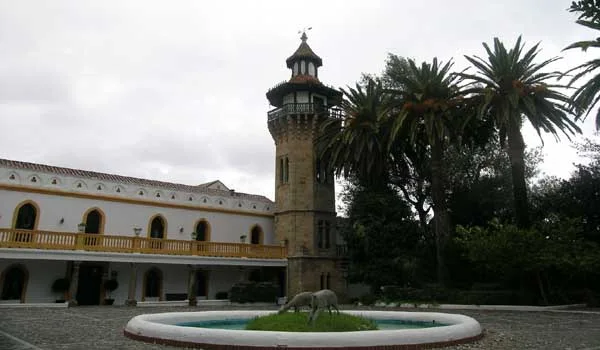
Castellar de la Frontera
The former San Miguel convent, now part of a hotel, recalls another chapter in the municipality's history.
La Almoraima →Castellar de la Frontera
A route in the provincial catalogue for exploring the surroundings of Castellar on foot.
La Calzada–Dehesa Boyal →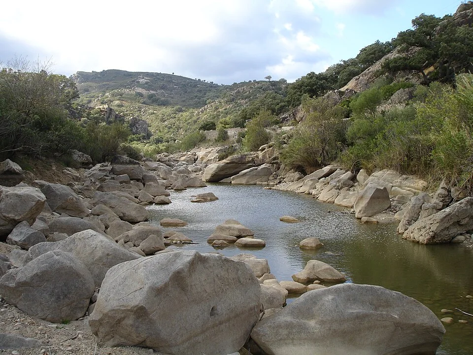
Jimena de la Frontera
The river offers a nature excursion from Jimena in the surroundings of Los Alcornocales.
River Hozgarganta Trail →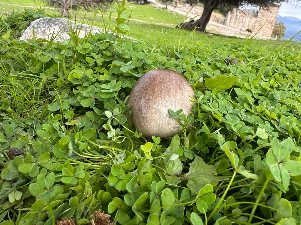
Jimena de la Frontera
Mushroom events are part of Jimena's winter cultural programme.
Jimena's mushroom culture →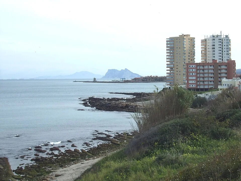
San Roque
The beach lies near its watchtowers, the lagoon and Sotogrande harbour.
Torreguadiaro Beach →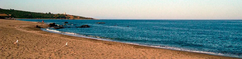
San Roque
The lighthouse and views towards Gibraltar define this stretch of San Roque's coast.
El Faro–Alcaidesa Beach →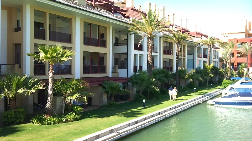
San Roque
The harbour area combines coastal walks and dining in the municipality of San Roque.
Sotogrande Harbour →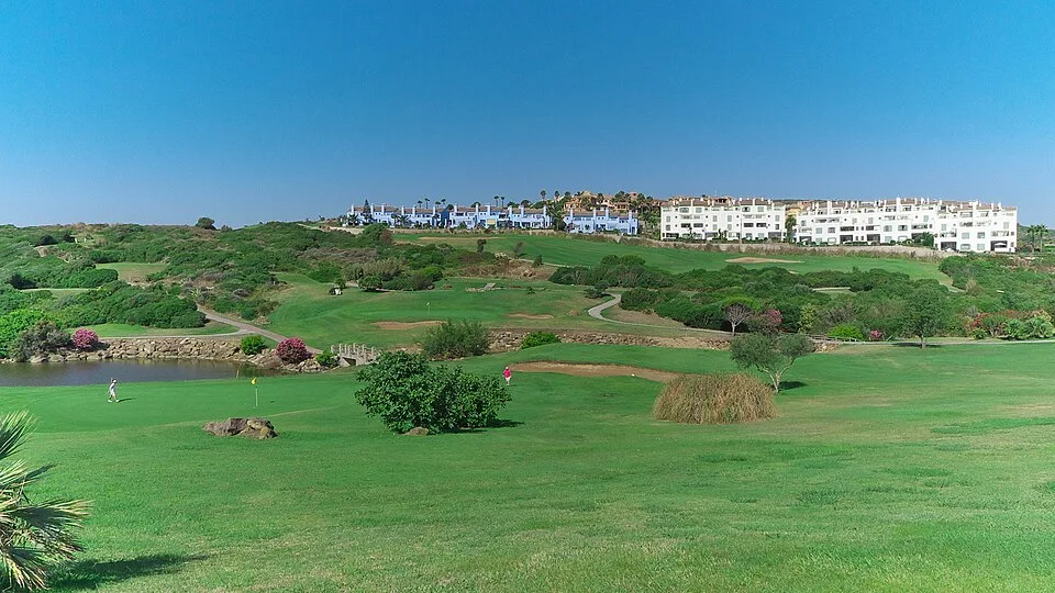
San Roque
The tourist office publishes a dedicated guide to the municipality's golf courses.
Golf in San Roque and Sotogrande →Algeciras · Tarifa
Desde el entorno de Huerta Grande, una salida hacia las lomas y panorámicas que explican la geografía del Estrecho.
Cerro del Tambor: el Estrecho desde Pelayo →Tarifa
Una escapada desde Algeciras al entorno de El Bujeo, donde el bosque de ribera ofrece otra manera de sentir el Estrecho.
Río Guadalmesí: la sombra del canuto →Los Barrios
Un recorrido circular entre ribera, quejigal y bujeo; una escapada de naturaleza que requiere autorización previa.
San Carlos del Tiradero: tres bosques en un paseo →Los Barrios
Humedad, vegetación envolvente y huellas de la vida serrana en un sendero protegido que exige autorización.
Canuto de Risco Blanco: un bosque que guarda oficios →


