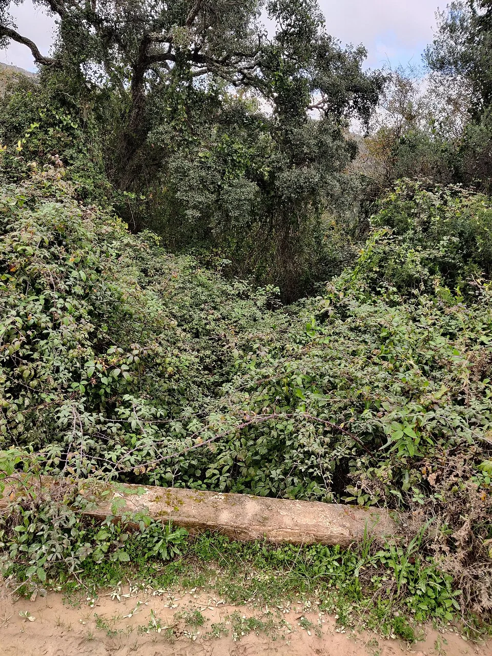
Comprueba el acceso antes de salir. Los Barrios, entorno del monte Valdeinfierno. Visita condicionada a confirmación de reapertura; no se garantiza acceso actual.
Read the transcript
Valdeinfierno deserves a place in a guide to Los Alcornocales for the richness of the landscape it preserves. Its stream, gall oaks and canuto vegetation offer an evocative contrast with more open surroundings. When the trail is authorised and operational, a visit reveals the role of humidity in a Mediterranean forest and details that call for closeness: a leaf's shape, a moss-covered trunk or shade beside the water. At this review, we do not propose walking it without checking first. The official description still links to a closure notice for landslides and an unstable slope; the period displayed in that notice extends to 13 September 2026, but that date alone does not establish reopening. Explicitly confirm its status with the park before travelling. If it remains closed, choose another outing and save this proposal for later. A good nature experience begins by respecting its own pace, and discovering a place also means knowing how to wait when the terrain needs safety and recovery.
El paisaje, paso a paso
Valdeinfierno merece formar parte de una guía de Los Alcornocales por la riqueza del paisaje que conserva. El arroyo, los quejigos y la vegetación de canuto ofrecen un contraste sugerente con los tramos más abiertos del entorno. Cuando el sendero está autorizado y operativo, la visita permite reconocer el papel de la humedad en un bosque mediterráneo y disfrutar de detalles que piden cercanía: la forma de una hoja, un tronco cubierto de musgo o la sombra junto al agua.
En esta revisión no proponemos salir a recorrerlo sin una comprobación previa. La ficha oficial todavía enlaza un aviso de cierre por deslizamientos y ladera inestable; el periodo mostrado en ese aviso llega al 13 de septiembre de 2026, pero esa fecha no acredita por sí sola la reapertura. Confirma expresamente el estado con el parque antes de desplazarte. Si sigue cerrado, elige otra salida y conserva esta propuesta para más adelante. Una buena experiencia de naturaleza comienza respetando sus tiempos, y descubrir un lugar también implica saber esperar cuando el terreno necesita seguridad y recuperación.
No se ofrecen tiempos operativos mientras no se confirme la reapertura. El track histórico no valida el estado actual.
Por dónde ir y qué descubrir
- Consulta la ficha oficial y confirma expresamente la reapertura con el parque.
- Si no está confirmada, elige otro sendero y no accedas.
- Cuando se autorice la visita, sigue únicamente los tramos reabiertos y su señalización.
- No utilices un track antiguo para sortear barreras o una ladera cerrada.
Acceso y preparación
Los Barrios, entorno del monte Valdeinfierno. Visita condicionada a confirmación de reapertura; no se garantiza acceso actual.
- Aviso oficial de cierre por deslizamientos e inestabilidad de ladera aún enlazado al revisar.
- El tramo históricamente adaptado no garantiza accesibilidad ni operatividad actual.
- Los comentarios y tracks previos al cierre no prueban que sea seguro entrar.
Fuentes para conocer más
Valdeinfierno introduces Los Barrios’s gallery woodland on an excursion from Algeciras. The tourism source distinguishes a 5.2-kilometre circuit from a 630-metre accessible linear section; accessibility should not be assumed for the whole trail.
What to look out for
- Gallery woodland
- Separate accessible section
Planning your visit
If you need an adapted route, confirm the condition of the 630-metre section before travelling.
The map
Approximate place locations, not hiking tracks.
Before you go
The source describes a 630 m accessible linear section, separate from the full circuit. Confirm its current condition.
Confirm access, opening hours and conditions with the official source. Follow signs and check restrictions in natural areas. We do not offer verified GPX tracks.
Sources consulted
turismolosbarrios.com ↗Sources reviewed · 2026-09-12