Read the transcript
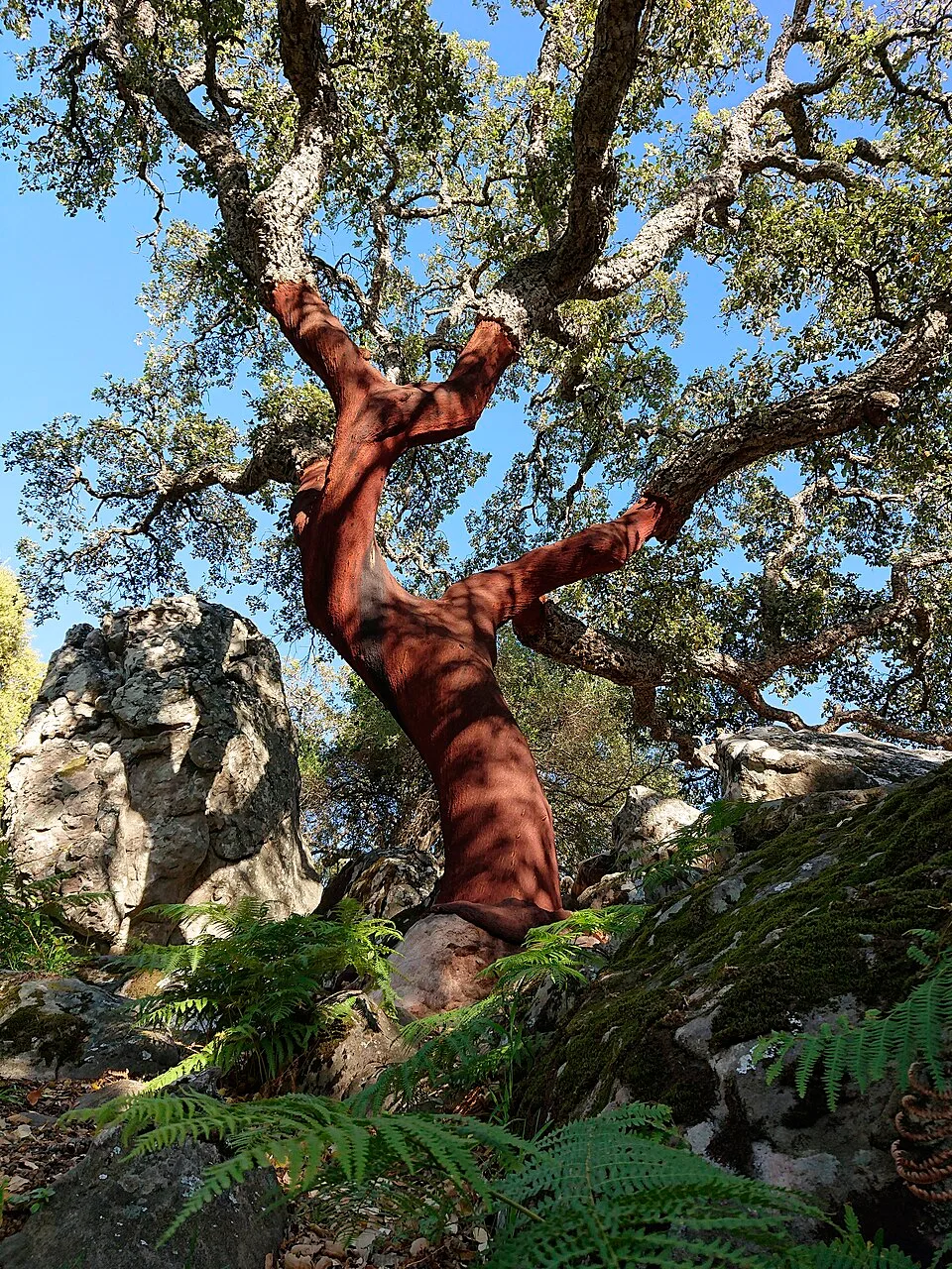
Garganta del Capitán invites you to change the scale of your gaze. Between the mountain slopes, the Botafuegos stream opens a landscape of shade and small surprises: the shape of a root, moisture on a rock wall, the sound of water announcing a corner before you see it. It is one of those places explaining why Algeciras is also a forest city, even if from the port it can seem made entirely of sea. The old mills add depth to the walk. Approaching the remains of San José and Las Cuevas helps imagine activity beside the water, everyday journeys and the skill required to turn a stream's force into work. The proposal is to follow the marked approach, observe heritage from the path and return without turning the pools into a recreation area. The waterfall's appeal does not justify climbing wet rocks or opening shortcuts through vegetation. Come with time for pauses: here, discovery matters more than accumulating kilometres.
El paisaje, paso a paso
La Garganta del Capitán invita a cambiar la escala de la mirada. Entre las laderas de la sierra, el arroyo de Botafuegos abre un paisaje de sombra y pequeñas sorpresas: el relieve de una raíz, la humedad de una pared rocosa, el ruido del agua que anuncia un rincón antes de que lleguemos a verlo. Es uno de esos lugares que explican por qué Algeciras también es una ciudad de bosque, aunque desde el puerto pueda parecer hecha únicamente de mar.
Los antiguos molinos añaden profundidad a la caminata. Acercarse a los restos de San José y de Las Cuevas ayuda a imaginar la actividad que hubo junto al agua, los trayectos cotidianos y la destreza necesaria para transformar la fuerza de un arroyo en trabajo. La propuesta es recorrer el acceso señalizado, observar el patrimonio desde el camino y regresar sin convertir las pozas en zona de recreo. El atractivo del salto de agua no justifica trepar por rocas mojadas ni abrir atajos entre la vegetación. Ven con margen para las pausas: aquí descubrir vale más que acumular kilómetros.
- Distancia
- 5,9 km en el circuito oficial
- Duración
- 2 horas, referencia oficial
- Dificultad
- Baja según el folleto de la Junta
Estas cifras corresponden al circuito oficial del folleto, no a todas las variantes ni al paseo de ida y vuelta propuesto.
Por dónde ir y qué descubrir
- Localiza el acceso señalizado a la Garganta del Capitán en el entorno de Botafuegos.
- Sigue el camino balizado hacia los restos de los molinos; no entres en estructuras inestables.
- Acércate al entorno del salto únicamente por el recorrido permitido y mantente fuera del cauce.
- Regresa por el acceso señalizado, sin improvisar una conexión con Río de la Miel.
Acceso y preparación
Entorno de Botafuegos. Contrasta el acceso actual con la señalización municipal; los puntos de inicio de Wikiloc varían.
- No bañarse ni instalar mesas, sillas o sombrillas en la garganta.
- Evita el cauce, las cornisas y las rocas húmedas.
- Las circulares que enlazan con Río de la Miel son rutas distintas y pueden exigir orientación avanzada.
Fuentes para conocer más
Garganta del Capitán combines damp woodland along the Botafuegos stream with remains of old mills. The leaflet describes a 5.9-kilometre circuit, subject to current conditions. Swimming and staying with tables, chairs or parasols are prohibited by the regional authority.
What to look out for
- Wooded gorge and old mills
- Swimming prohibited
Planning your visit
Do not swim or set up tables, chairs or parasols. Also check the park’s access notices.
The map
Approximate place locations, not hiking tracks.
Before you go
The regional authority prohibits swimming and staying with tables, chairs or parasols. Check closures and current conditions before setting out.
Confirm access, opening hours and conditions with the official source. Follow signs and check restrictions in natural areas. We do not offer verified GPX tracks.
Sources consulted
www.juntadeandalucia.es ↗Sources reviewed · 2026-09-12