Read the transcript
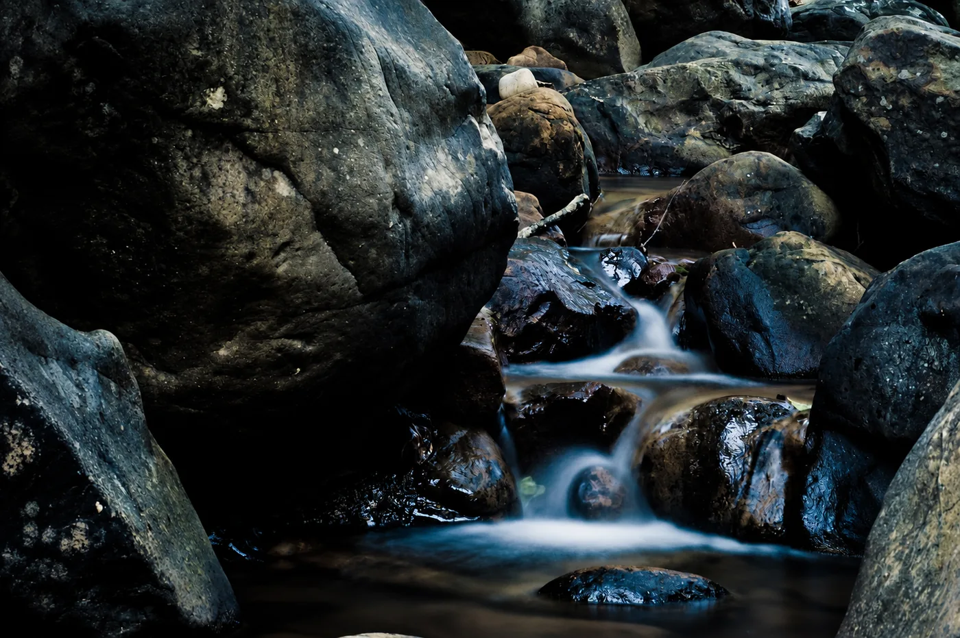
Algeciras keeps a doorway to the forest in the El Cobre neighbourhood. Leave the last houses behind and approach the Río de la Miel, and the city's sounds begin yielding to water. The valley, sheltered between slopes, preserves a humid atmosphere that explains its rich vegetation. The interest here is not only at the end of the path: pause beside riverside plants, stones covered in green growth and changing light over the riverbed. The walk also reveals a history of labour. The Escalona mill, the single-arch bridge and remains of the Águila mill recall an Algeciras that used the river to grind grain and sustain its vegetable gardens. They are not scenery in untouched nature, but traces of the relationship between the forest and those who lived from it. Follow the marked trail to its end, allow time to look and return along the same path: extending it upstream through pools or connecting with the mountains changes the excursion completely. The best visit leaves water, plants and historical remains as it found them.
El paisaje, paso a paso
Algeciras guarda una puerta al bosque en la barriada de El Cobre. Basta dejar atrás las últimas casas y acercarse al Río de la Miel para que el sonido de la ciudad vaya cediendo sitio al agua. El valle, protegido entre laderas, conserva un ambiente húmedo que explica su riqueza vegetal. Aquí el interés no está únicamente al final del camino: merece la pena detenerse ante la vegetación de ribera, las piedras cubiertas de verdín y los cambios de luz sobre el cauce.
El paseo permite leer también una historia de trabajo. El molino de Escalona, el puente de un solo arco y los restos del molino del Águila recuerdan una Algeciras que aprovechaba el río para moler y mantener sus huertas. No son decorados de una naturaleza intacta, sino huellas de la relación entre el bosque y quienes vivieron de él. Recorre el sendero señalizado hasta su final, reserva tiempo para mirar y regresa por el mismo camino: prolongarlo remontando pozas o enlazando con la sierra cambia por completo la excursión. La mejor visita deja el agua, las plantas y los restos históricos tal como los encontró.
- Distancia
- 2,4 km de ida
- Duración
- 50 min de ida, sin paradas
Datos del folleto de la Junta; el regreso duplica la distancia del sendero lineal.
Por dónde ir y qué descubrir
- En El Cobre, localiza el panel del sendero oficial y comienza por la pista de acceso.
- Observa el entorno del molino de Escalona y cruza por el puente del recorrido señalizado.
- Continúa por la ribera, atendiendo a los restos del molino del Águila y a los paneles del sendero.
- Llega al final señalizado y vuelve por el mismo itinerario; no remontes el cauce.
Acceso y preparación
Inicio en la barriada de El Cobre. Utiliza los accesos señalizados y aparca sin bloquear viviendas, caminos o pasos de emergencia.
- El folleto oficial describe 2,4 km y 50 minutos de ida: hay que sumar regreso y paradas.
- Piedras y raíces pueden resbalar; evita la salida con crecidas o lluvias fuertes.
- Los tracks circulares de la sierra no equivalen a este paseo de ida y vuelta.
Fuentes para conocer más
The Río de la Miel trail starts in El Cobre and enters riverside woodland with traces of water-powered heritage. The official leaflet lists 2.4 kilometres and 50 minutes one way; allow separately for returning and stopping.
What to look out for
- Riverside woodland
- Published 2.4 km is one way
Planning your visit
Allow for the return journey; the official 50 minutes cover the outward walk only. Bring your own water.
The map
Approximate place locations, not hiking tracks.
Before you go
The leaflet’s 2.4 km and about 50 minutes are one way only. The access lane is pedestrian. Check trail conditions; this is not presented as a bathing area.
Confirm access, opening hours and conditions with the official source. Follow signs and check restrictions in natural areas. We do not offer verified GPX tracks.
Sources consulted
www.juntadeandalucia.es ↗Sources reviewed · 2026-09-12