Read the transcript
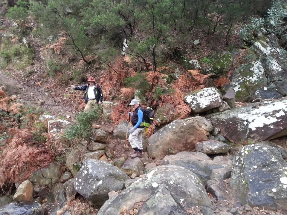
Las Esclarecidas belong to the mountains accompanying life in Algeciras, yet many visitors barely get to know them. Municipal information highlights their botanical diversity and environmental interest, with varied soils and local conditions encouraging different landscapes. Walking here brings you closer to slopes that appear a backdrop from the city, revealing a geography of their own. The proposal begins around El Cobre, near Chorrosquina, using the municipal trail as its reference. Notice changes in vegetation and the way slopes organise paths. Not every excursion called Las Esclarecidas is equivalent: some connect summits, crags, Las Corzas and the Senda de los Prisioneros over a long day. A first visit should therefore follow a specific variant suited to the group's experience. Choose a day with good visibility, keep to your planned itinerary and leave time to return. Discovering the mountains is not about linking all their heights, but beginning to recognise their names and forms.
The landscape, step by step
Las Esclarecidas belong to the mountains accompanying life in Algeciras, yet many visitors barely get to know them. Municipal information highlights their botanical diversity and environmental interest, with varied soils and local conditions encouraging different landscapes. Walking here brings you closer to slopes that appear a backdrop from the city, revealing a geography of their own. The proposal begins around El Cobre, near Chorrosquina, using the municipal trail as its reference.
Notice changes in vegetation and the way slopes organise paths. Not every excursion called Las Esclarecidas is equivalent: some connect summits, crags, Las Corzas and the Senda de los Prisioneros over a long day. A first visit should therefore follow a specific variant suited to the group's experience. Choose a day with good visibility, keep to your planned itinerary and leave time to return.
Discovering the mountains is not about linking all their heights, but beginning to recognise their names and forms.
Distance and difficulty cannot be transferred between the municipal trail and the numerous summit variants.
Where to walk and what to discover
- Consult the municipal approach from El Cobre, around Chorrosquina.
- Choose the municipal trail or a specific variant, without mixing Esclarecidas Altas and Bajas tracks.
- Observe slopes and vegetation from permitted paths.
- Return as planned without adding Las Corzas or Prisioneros during the walk.
Access and preparation
El Cobre neighbourhood, around the former landfill and Chorrosquina according to the municipal description; check current access.
- The municipality's low difficulty rating does not apply to every summit circuit.
- Do not leave paths to reach rocky outcrops or photographic viewpoints.
- Check the weather and carry mapping for the chosen route.
Sources for further reading
Before you go
Check the official source for current access and conditions.
Confirm access, opening hours and conditions with the official source. Follow signs and check restrictions in natural areas. We do not offer verified GPX tracks.
Sources consulted
www.algeciras.es ↗Sources reviewed · 2026-09-12