Read the transcript
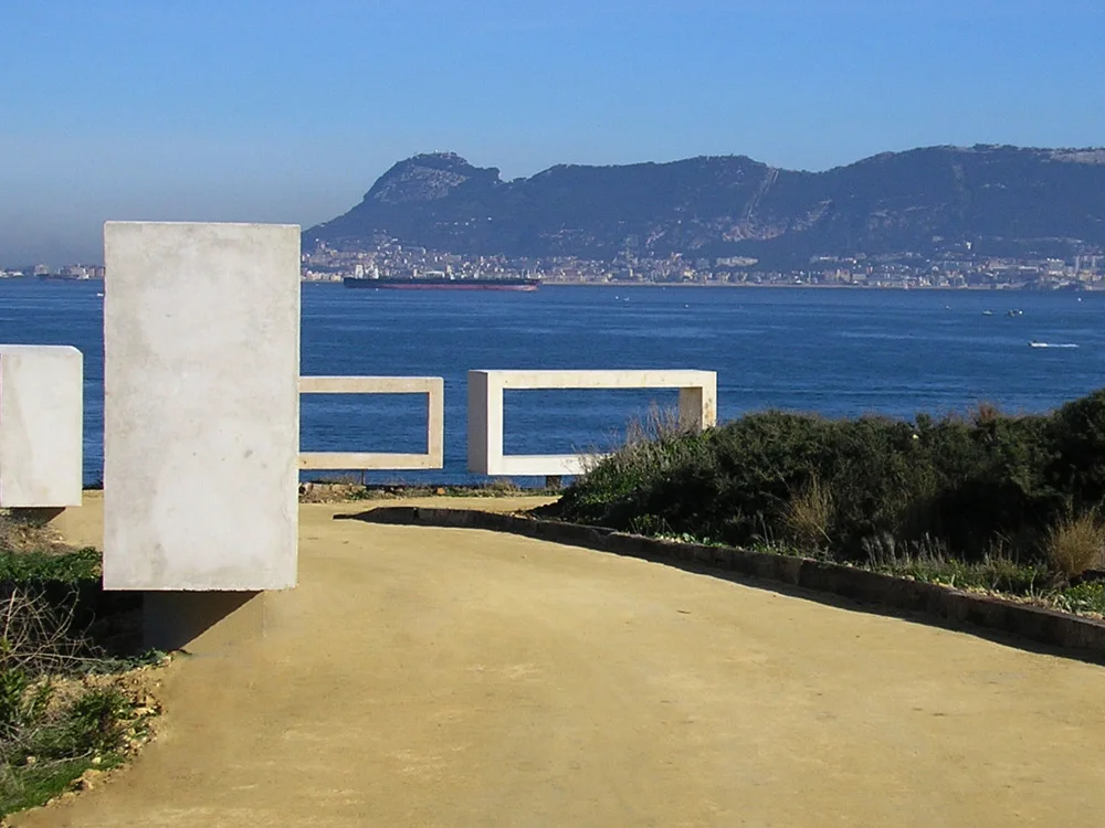
Punta de San García offers one of the best ways to understand Algeciras's position without leaving the city behind. From Parque del Centenario, the view brings together bay, coast and maritime horizon. The walk has the charm of open places: light changes the appearance of the water, wind alters the sense of distance and every pause reveals a different relationship between land and sea. Remains of the fort and defensive structures add a historical reading to coastal nature. Observe them from designated paths, without entering closed spaces or climbing structures. Rather than seeking an isolated photograph, the idea is to connect the park's perspectives and consider why this point served to watch the coast. Make a short outing or combine it with Getares through available public passages. That combination includes streets and urban transitions: it is not a continuous clifftop trail. Returning with a clearer understanding of the bay is the true reward of this small route.
The landscape, step by step
Punta de San García offers one of the best ways to understand Algeciras's position without leaving the city behind. From Parque del Centenario, the view brings together bay, coast and maritime horizon. The walk has the charm of open places: light changes the appearance of the water, wind alters the sense of distance and every pause reveals a different relationship between land and sea. Remains of the fort and defensive structures add a historical reading to coastal nature.
Observe them from designated paths, without entering closed spaces or climbing structures. Rather than seeking an isolated photograph, the idea is to connect the park's perspectives and consider why this point served to watch the coast. Make a short outing or combine it with Getares through available public passages. That combination includes streets and urban transitions: it is not a continuous clifftop trail.
Returning with a clearer understanding of the bay is the true reward of this small route.
An interpretive walk of flexible length; the Wikiloc variant combines more places and does not represent the park alone.
Where to walk and what to discover
- Enter Parque del Centenario through its public entrance.
- Follow park paths to Punta de San García's observation points.
- Observe traces of the fort and coastal defences from outside.
- Complete the walk on designated paths and return to the entrance.
Access and preparation
Parque del Centenario, Punta de San García. Respect park hours and signed closures.
- Do not approach cliff edges or enter abandoned structures.
- In strong easterly winds, avoid exposed points.
- Connecting with Getares requires public streets and access points.
Sources for further reading
The map
Approximate place locations, not hiking tracks.
Before you go
Check the official source for current access and conditions.
Confirm access, opening hours and conditions with the official source. Follow signs and check restrictions in natural areas. We do not offer verified GPX tracks.
Sources consulted
www.algeciras.es ↗Sources reviewed · 2026-09-12